East Bengal was the most populous province in the new Pakistani federation led by Governor General Muhammad Ali Jinnah in 1947, with Dacca as the provincial capital.[82] While the state of Pakistan was created as a homeland for Muslims of the former British Raj, East Bengal was also Pakistan's most cosmopolitan province, being home to peoples of different faiths, cultures and ethnic groups. In 1950, land reform was accomplished in East Bengal with the abolishment of the permanent settlement and the feudal zamindari system.[83]
| Independence day | 26 March | Victory day | 16 December |
| International Mother Language day | 21 February |
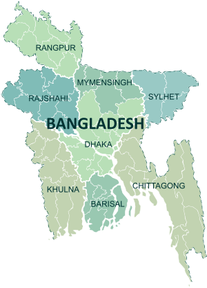
The geography of Bangladesh is divided between three regions. Most of the country is dominated by the fertile Ganges-Brahmaputra delta. The northwest and central parts of the country are formed by the Madhupur and the Barind plateaus. The northeast and southeast are home to evergreen hill ranges. The Ganges delta is formed by the confluence of the Ganges (local name Padma or Pôdda), Brahmaputra (Jamuna or Jomuna), and Meghna rivers and their respective tributaries. The Ganges unites with the Jamuna (main channel of the Brahmaputra) and later joins the Meghna, finally flowing into the Bay of Bengal. The alluvial soil deposited by the rivers when they overflow their banks has created some of the most fertile plains in the world. Bangladesh has 57 trans-boundary rivers, making water issues politically complicated to resolve – in most cases as the lower riparian state to India.[142]
Straddling the Tropic of Cancer, Bangladesh's climate is tropical with a mild winter from October to March, and a hot, humid summer from March to June. The country has never recorded an air temperature below 0 °C, with a record low of 1.1 °C in the north west city of Dinajpur on 3 February 1905.